The Bottom Line High humidity and unsettled weather. Typical summer weather in New Jersey. But that does not mean we have to like it.
We are facing a few showers and maybe even a thunderstorm through the first half of Wednesday. And again during the daytime hours on Thursday. Meanwhile, dew points in the 70s are making the air thick and uncomfortable.

But change is coming. A cold front will usher in clearer skies, drier weather, and refreshing air on Friday. And the beautiful weather will continue through the upcoming weekend.
Could it be one of the best weekends of the entire summer? Wednesday As of this writing (6 a.m.), it is not really raining over New Jersey.
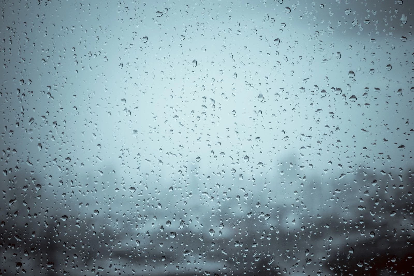
It's raining around New Jersey. And it is damp in spots, and very humid. But this storm system has been even tamer than expected, also arriving later than expected.
We are not out of the woods for some wet weather going forward here. In fact, I have to leave a chance for scattered showers and even a thunderstorm in the forecast through about midday Wednesday. Then our weather will trend drier through the afternoon.
Technically, our severe weather risk has ticked up one category. But I still only have one concern: localized downpours, which could drop a quick inch of rain, causing big puddles to form. Skies will be mostly cloudy to overcast Wednesday, keeping temperatures at bay somewhat.
70s in the morning. Lower 80s in the afternoon. Wednesday night looks pretty dry, although still incredibly muggy.
Low temperatures will only drop to the lower 70s again. Thursday One more humid, unsettled day. With one more push of showers and thunderstorms.
I think the best chance for hit-or-miss rain on Thursday will be mid-morning through mid-afternoon. Once again, primarily just wet, with some downpours possible. There is a chance for a late-day strong thunderstorm — think of it as the grand finale of this week's "blah" weather, as our cold front approaches.
Highs on Thursday will reach the lower to mid 80s once again. There is a good chance for some clearing just before sunset Thursday evening. And then big improvements will take hold overnight, as slightly cooler, much drier air arrives.
Friday Ahhh! By the time you wake up Friday, high pressure will be in control of our atmosphere. That means humidity will drop back to the "comfortable" range. And we enjoy some much brighter, much drier weather.
Friday will be mostly sunny and dry. Warm and not humid. High temperatures will be in the lower 80s.
Simply a gorgeous day, from start to finish. Saturday & Sunday The splendid summer sunshine will last all weekend long. I literally have no problems to complain about here.
High temperatures will be very warm, but reasonably close to normal for the last weekend of July. Mid 80s on Saturday. Upper 80s on Sunday.
Beaches and boardwalks will be busy for sure. The Extended Forecast We will squeeze out one more outstanding rain-free day on Monday, with sunshine and highs near 90 degrees. It may get a little stickier, as dew points creep into the 60s.
But not tropical yet. Tuesday and beyond, however, it is right back to the humidity game. I am still a little unclear if the middle to late part of next week will transition to "humidity and heat" or "humidity and storms".
(We have had both flavors of summer weather already this summer, of course.) So we will see how things trend, as we prepare to turn the calendar page from July to August next week. The Top 30 Roller Coasters in New Jersey Happy National Roller Coaster Day! The state of New Jersey is home to the 6th most roller coasters in the United States, spread across 14 thrilling theme parks.
Gallery Credit: Dan Zarrow Dan Zarrow is Chief Meteorologist for Townsquare Media New Jersey. Follow him on Facebook for the latest forecast and realtime weather updates..